Our Process
From first conversation to final design
A clear five-step journey — whether you have a professional survey in hand or have never mapped your land before.
- 01
Discovery
We begin by understanding your goals, vision, site, challenges, and resources.
- 02
Base Map Creation
You share your base map with us. Don't have one? No problem.
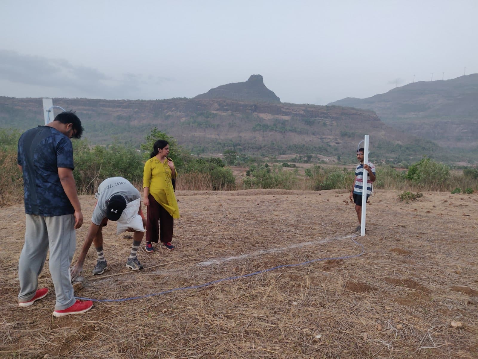
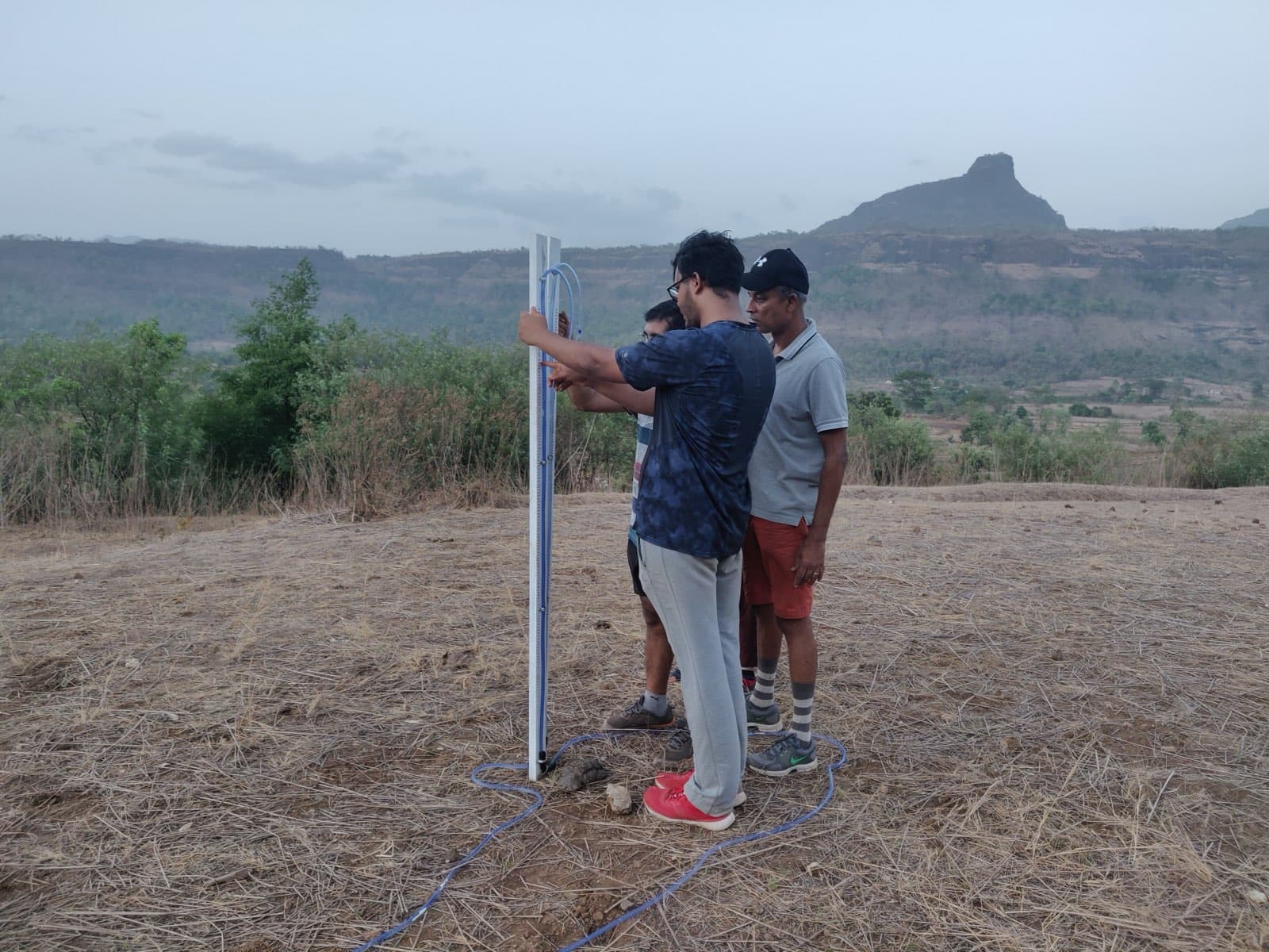
- 03
Site Assessment
We evaluate everything that shapes your land:
- Climate
- Slope & Topography
- Water Movement
- Soil Conditions
- Existing Vegetation
- Wildlife
- Infrastructure
- Access Routes
- Future Climate Risks
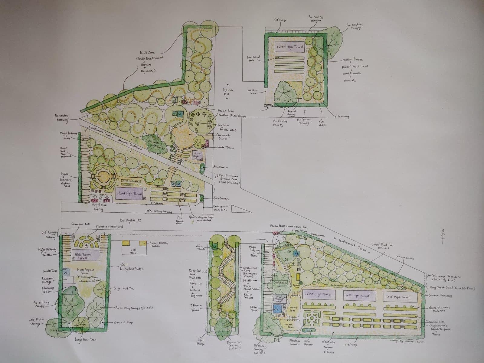
- 04
Design Development
We develop an integrated design that works with the natural patterns and opportunities of your site.
- 05
Final Design Package
You receive a comprehensive design package with maps, recommendations, implementation guidance, and management strategies.
Start with a conversation.
Step one is simply telling us about your land and your vision. The rest, we'll walk through together.